
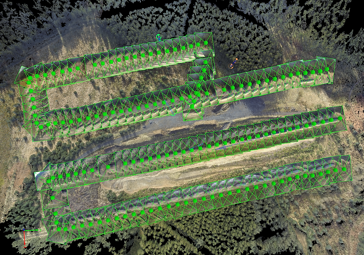
Aerial mapping is all about taking a series of aerial images and processing them into a single image that can be used in any GIS system. An interactive example of a map can be accessed via the link below:
http://www.dronelab.io/map/public/view/d047a9f93b6a4a68b6eccb2005f24fa5?embed=true
For further examples follow the link below:
